About Kampot
Kampot (Khmer: កំពត 'The Kampot's Fish') is a province in southwestern Cambodia. It borders the provinces of Koh Kong and Kampong Speu to the north, Takéo to the east, Kep and the country of Vietnam (Kiên Giang) to the south, and Sihanoukville to the west. To its south it has a coastline of around 45 km on the Gulf of Thailand. It is rich in low arable lands and has abundant natural resources. Its capital is the city of Kampot.
Kampot Province had a population of 627,884 in 2010 and consist of eight districts divided into 92 communes with a total of 477 villages. Touk Meas City is located in the province.
Images of Kampot


More Information
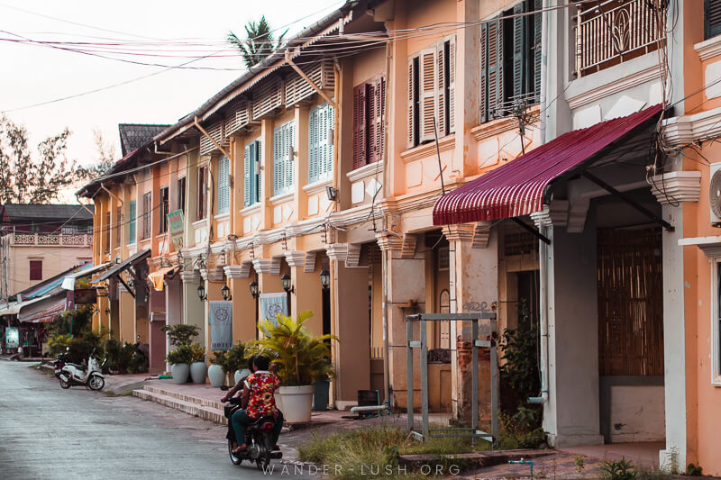
In the 19th century, during the French Indochina period, Kampot became a regional administrative center with the status of a state border district as a result of the delimitation of the Kingdom of Cambodia. The Circonscription Résidentielle de Kampot contained the arrondissements of Kampot, Kompong-Som, Trang and Kong-Pisey. In 1889, French colonial census reports a multi-ethnic community: Kampot town consisted of "Cambodian Kampot" on the Prek-Kampot River and "Chinese Kampot" on the right riverbank of the west branch of the Prek-Thom River. Nearby was also a Vietnamese village, called Tien-Thanh and another Vietnamese village on Traeuy Koh Island. A Malay also existed on Traeuy Koh Island. Additional villages of mixed ethnicity are listed.